Friends of Gualala River Protecting the Gualala River watershed and the species living within it
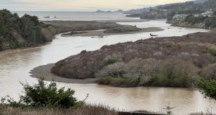
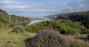
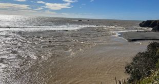
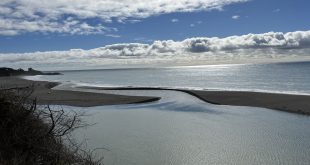
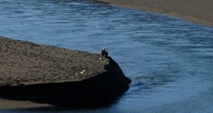
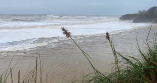
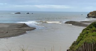
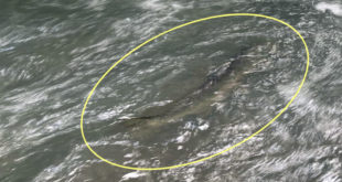
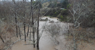
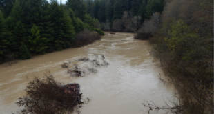
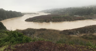
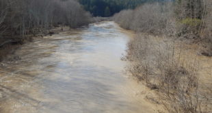
Gualala River estuary, Dec. 20, 2023 Gualala River estuary – muddy water after ~6 inches of rain, Dec. 20, 2023 Gualala River breaches the barrier beach, Dec. 20, 2023 Gualala River flows to the sea, Dec. 20, 2023 Photos courtesy of Jeanne Jackson
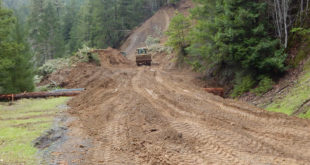
Read More »Rain falls, River rises, Mouth opens