 Friends of Gualala River Protecting the Gualala River watershed and the species living within it
Friends of Gualala River invite coastal residents and visitors to visit our website and explore microclimates and wildfire camera views on our new Map of Real-time Weather Stations & Wildfire Cameras in the Gualala River Watershed: gualalariver.org/weather-wildfire.
Click on the diamond icons to see individual weather station data including temperature, wind, rainfall and humidity. The stations are maintained by a variety of different operators, including private individuals, PG&E, and others.
Click on the arrow icons to see different wildfire camera views surveying the watershed in real time. These cameras are part of a network maintained by Alert California, a public safety organization based at UC San Diego that manages more than 975 monitoring cameras across the state.
Our map combines climate information and views from wildfire cameras that operate all year but are of particular use during the fire season. The Gualala River watershed has experienced periodic natural fires throughout its past. The risk of fire is greater now, as over a century of fire suppression and clear-cut logging created forests with congested trees and dense undergrowth. Climate change also creates more fire risk because of higher seasonal temperatures, stronger winds and drought.
While the weather station data cannot be used to predict absolute risk of wildfire in a location, users can see how widely varying weather conditions are in different areas of the watershed at any given time. The weather data also help illustrate different growing conditions in the watershed which determine vegetation and habitat. The wildfire camera views can help evaluate personal danger from an existing fire visible from the cameras. The cameras are also intended to be used to help citizens spot fires.
The map is a joint project by Friends of Gualala River and Digital Mapping Solutions. The interactive map was inspired by FoGR’s initial weather station at the Gualala Point Regional Park Visitors Center. That station was made possible by FoGR, Sonoma County Regional Parks Association and Further Reach wireless internet.
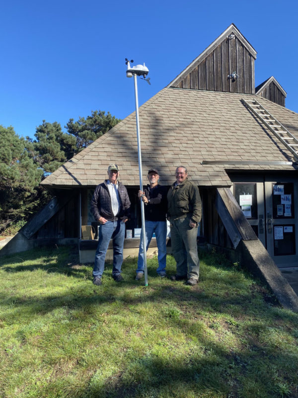
and Gretchen Jay from Sonoma County Regional Parks with weather station