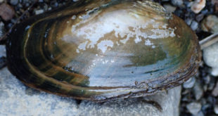
Friends of Gualala River Protecting the Gualala River watershed and the species living within it
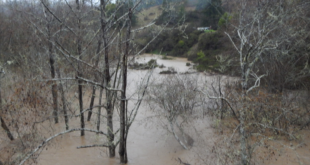
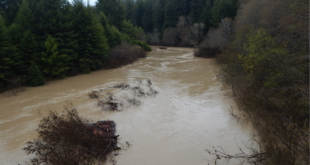
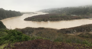
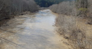
March 8, 2023, before the atmospheric river: Mouth of the Gualala River on March 8, 2023, before the atmospheric river March 10, 2023, after the atmospheric river: Mouth of the Gualala River on March 10, 2023, after the atmospheric river Mouth of the Gualala River on March 10, 2023, after the atmospheric river
Read More »Gualala River Mouth Before & After Atmospheric River