Friends of Gualala River Protecting the Gualala River watershed and the species living within it
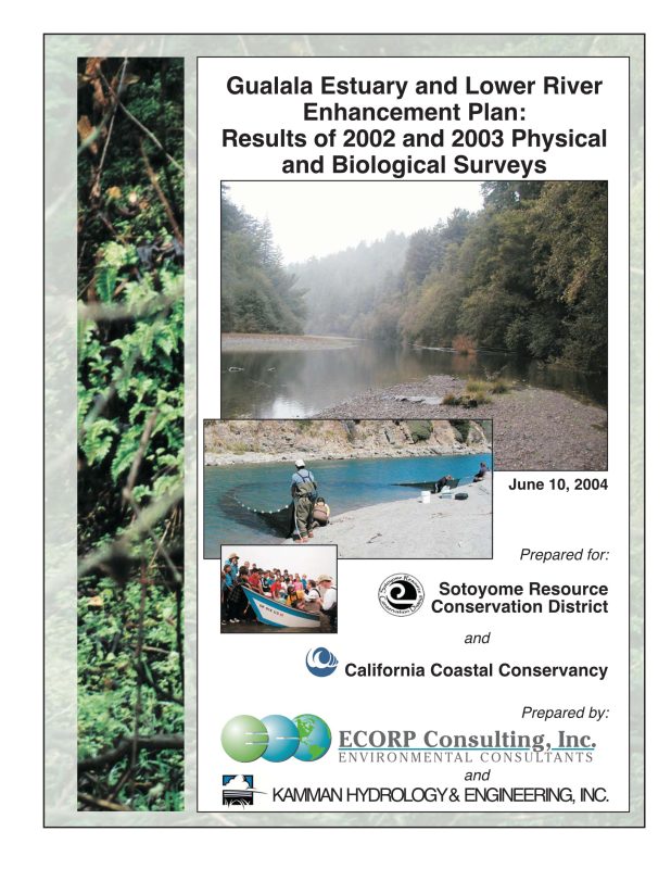
Download a pdf version of this report
Introduction
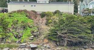
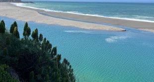
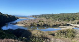
The Gualala River estuary is located on the northern coast of California, about 37 miles north of the town of Jenner. Although the Gualala River has historically been an important system for steelhead and coho salmon fisheries, knowledge of the dynamics of anadromous salmonid fisheries has been limited to anecdotal information, with little focused study. The State Coastal Conservancy (SCC) has been involved with studies on the lower Gualala River since 1995, beginning with a grant for a literature search of existing data associated with the ecological integrity of the Gualala River watershed. Information provided from that work effort demonstrated that there were significant gaps in the literature relative to the lower river and estuary. Since then, the California Department of Fish and Game issued the final report of the North Coast Watershed Assessment Program (NCWAP) Gualala Watershed studies.
Acknowledging the importance of coastal estuaries to the overall health of coastal watersheds and the existing lack of data on the lower Gualala River, the Sotoyome Resources Conservation District (SRCD), the SCC, and the Gualala River Watershed Council (“Council”) resolved to broaden the scientific understanding of the Gualala watershed, particularly the lower river and estuary. As a result, ECORP Consulting, Inc. (ECORP) and Kamman Hydrology & Engineering (KHE) were contracted by the SRCD to assess the lower river and estuary in 2002 and 2003, and develop recommendations for an enhancement plan for the Gualala Estuary and Lower River Project. . .