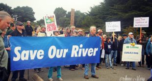
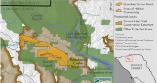
Friends of Gualala River Protecting the Gualala River watershed and the species living within it
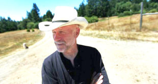
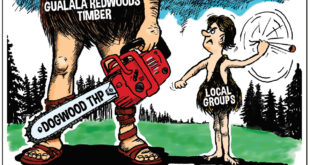
Friends of Gualala River (FoGR) is pleased to announce that the Sonoma County Conservation Council (SCCC) has recognized Chris Poehlmann, FoGR president emeritus, with the 2020 Ernestine I. Smith Environmentalist of the Year award in the category of Forest Champion. Chris was one of three recipients of this year’s award, along with Rick Coates, director of Forest Unlimited and wildlife …
Read More »Chris Poehlmann Receives an “Environmentalist of the Year” Award