Friends of Gualala River Protecting the Gualala River watershed and the species living within it
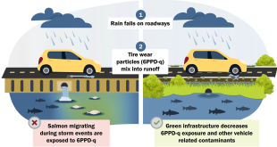
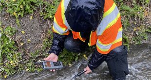
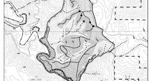
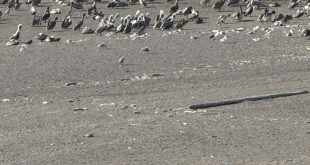
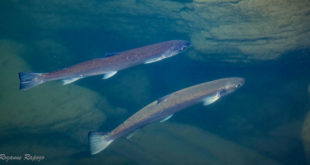
Presentation to the Washington Department of Ecology: 6PPD-Q State of the Science Forum on December 9, 2025 Presented by Laura Baker, Friends of Gualala River, and Timmarie Hamill, CA Urban Streams Alliance-The Stream Team Abstract In 2022, CA Urban Streams Alliance-The Stream Team (The Stream Team) expanded its long-standing watershed monitoring program and began collaborating with Friends of Gualala River …
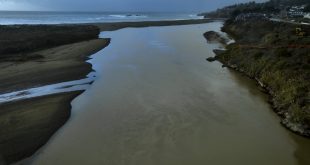
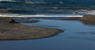
Read More »Stormwater 6PPD-Q Monitoring in the Bar-Built Gualala River Estuary/Lagoon: Baseline Conditions and Hotspot Identification