Friends of Gualala River Protecting the Gualala River watershed and the species living within it
12/31/2005 Peter
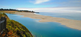
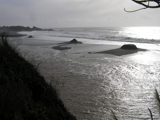
“Soon after noon, the northern 2/3 of the sand spit was almost completely eroded from the river side, leaving 4 evenly spaced mounds (beach cusps) with vertical scarps facing the river, and low washover troughs between them.
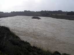
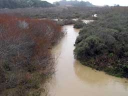
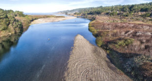
The marsh at the county park was submerged. Mill Bend was entirely under water, and the access road down to the kayak launch became a flowing bypass channel; water was lapping at the base of the ramp exit from Hwy 1. The entire riparian zone upstream from the bridge was fast-flowing current. The island in the estuary was under water (tops of shrubs emerged).”