Home
About FoGR
Join Us
Donate
Donate to FoGR
Donate directly from your IRA
Contact FoGR
Friends of Gualala River Protecting the Gualala River watershed and the species living within it
News
FoGR News
FoGR Events
Press
StreamTeam
Weather
Weather Stations & Wildfire Cameras
Recreation
Nature
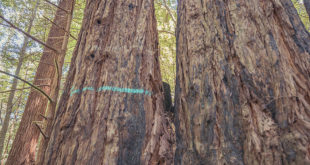
Trees
Seasons
Photos & Maps
Sightings
Seasons
Photo Contest
Maps
Videos
Photo Tour
Aerial Tour
River Issues
Estuary / Lagoon
Public Access
Stormwater
Sediment (TMDL)
Stream Flow
Gravel Mining
Pesticides
Wild and Scenic
Marine Sanctuary
Fireworks
NCWAP
Waterbags
Forestry
Card THP
Salt THP
Pepper THP
Lucas Point THP
Section 23 THP
Copper Top THP
Steam Donkey THP
Bootleg THP
Floodplain Logging
Far North THP
Little THP
Elk THP
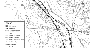
Dogwood THP
Haupt Creek THP
Vineyards
Preservation Ranch
Vineyards & Water
Artesa Vineyards
Home
»
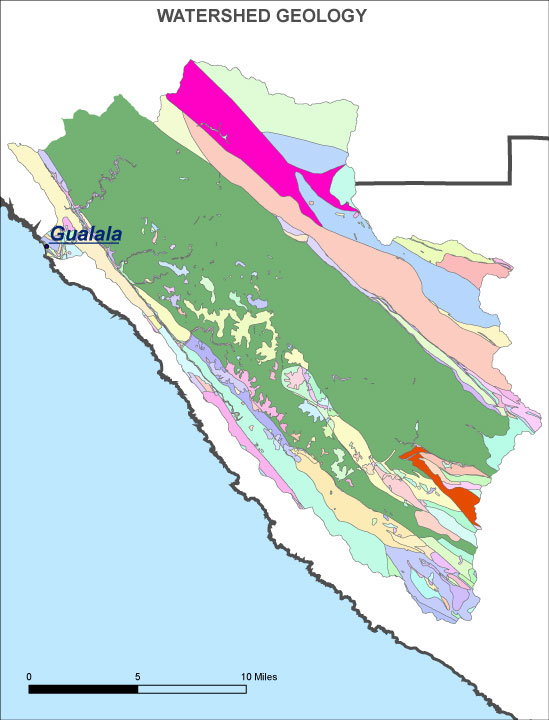
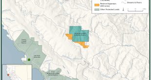
Gualala River - Maps
»
gualala-geology
gualala-geology
2014-01-14
Fogr WP
Share
Facebook
Twitter
Related Articles
Dogwood THP Documents
July 31, 2019
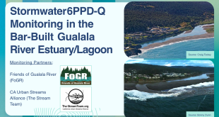
Stormwater 6PPD-Q Monitoring in the Bar-Built Gualala River Estuary/Lagoon: Baseline Conditions and Hotspot Identification
March 5, 2026
Card Timber Harvest Plan
February 21, 2026
Save the Redwoods League Secures Opportunity to Expand Harold Richardson Redwoods Reserve and Protect Sonoma County’s Ancient Redwoods
January 28, 2026
 Friends of Gualala River Protecting the Gualala River watershed and the species living within it