Friends of Gualala River Protecting the Gualala River watershed and the species living within it
The Press Democrat analyzed land records on 3,171 vineyard properties obtained from the Sonoma County Assessor’s Office, which were updated in August 2013. The locations of the vineyard parcels were mapped using GIS data from the Sonoma County Information Systems Department.
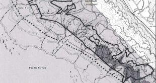
Click on the image below to visit the interactive map on the Press Democrat’s website:

Interactive map of Sonoma County vineyards