Friends of Gualala River Protecting the Gualala River watershed and the species living within it
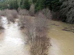
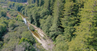
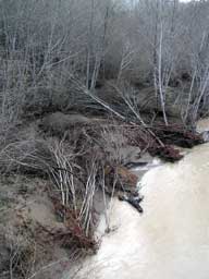
“Here also the entire riparian zone was submerged and part of the channel, with rapid currents among alders.
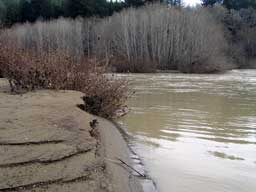
The high water level (mud with ripples, debris lines) went up to the edge of the loggingroad parallel with the river on the N side….highest I’ve ever seen. A thick deposit of silt (over 20 cm deep) covered the extensive ground that was emergent; most of the road leading down to the low-flow channel was still under deep water (dog swimming depth). The partly buried willows planted by Matrix of Change will be very happy!
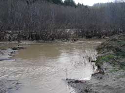
Most of the large debris (logs, limbs) was coming from the Wheatfield Fork, even earlier in the morning; little debris in the South Fork upstream from the bridge.
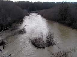
(If RWQCB wants indisputable field data about the actual reach of the “riparian zone” or “floodplain”, now’s the time to collect the data! Thick mud right up to the high water mark.)
Still can’t see any hint of the main channel bed, but I’m sure it’s totally rearranged. Some of the alder riparian forest was restructured…some trees blown out, some ground scoured, some thick debris deposited.”